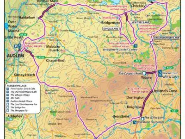
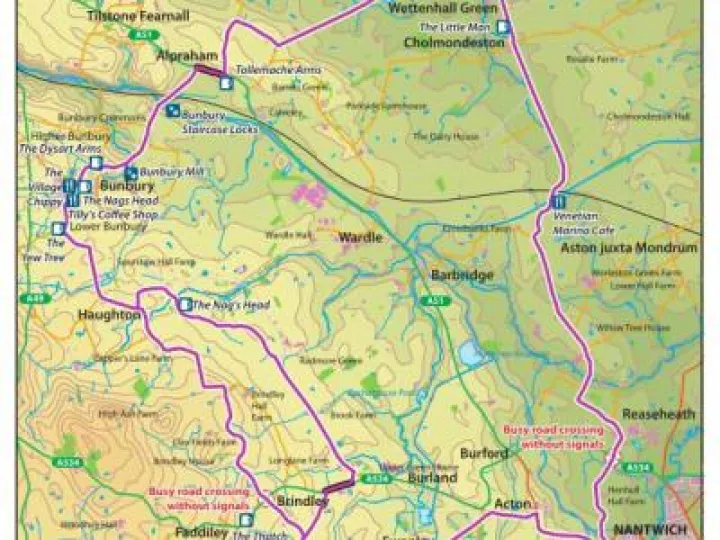
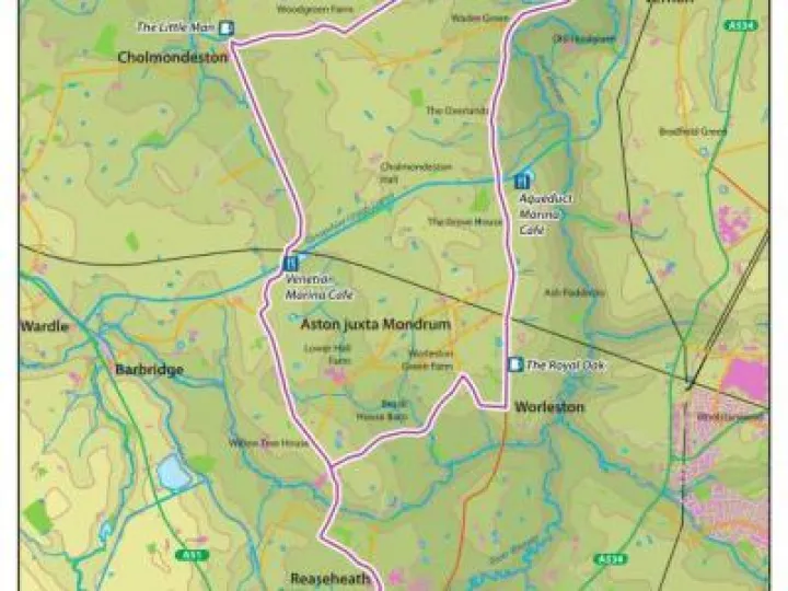
ADAPT Logo Link
Enjoy living well while safeguarding the future
Back home / Cycle Maps

Cycle Maps

map page audlem locks

ADAPT has produced this guide to cycle routes around the Audlem area, to encourage cycling for both essential local journeys and as a leisure activity. Scroll down to the foot of this page to learn more about the project.
We have produced a total of 30 routes:

  • 6 through routes to nearby towns / destinations
  • 10 circular leisure routes
  • 8 leisure destination routes
  • 6 short local routes for beginners or quick rides.

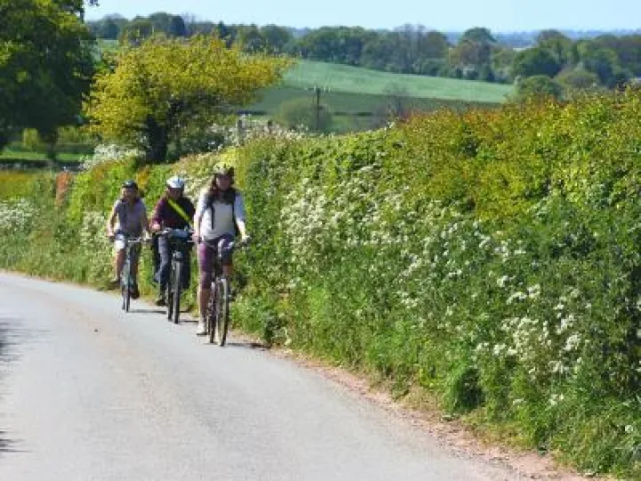
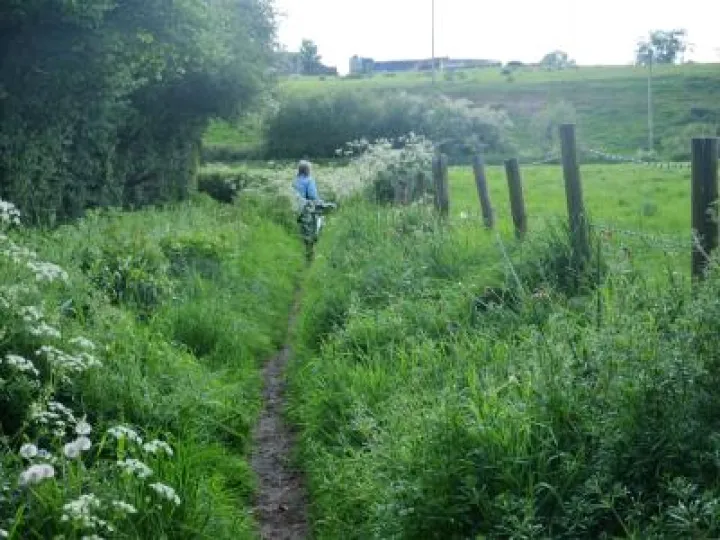
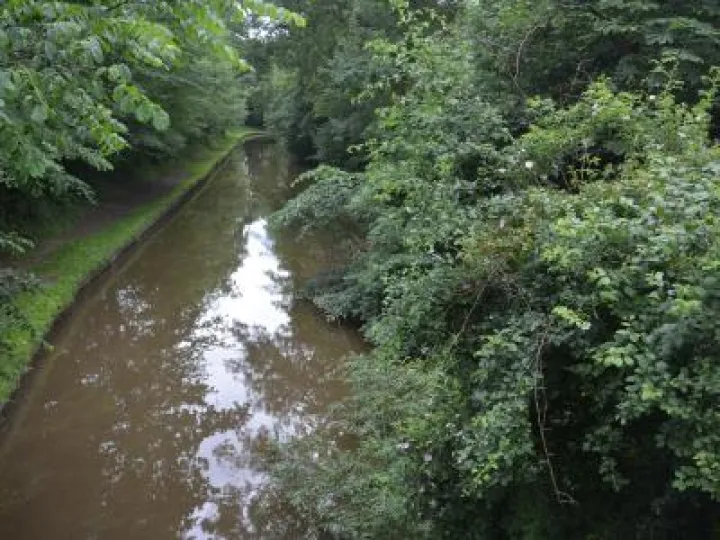
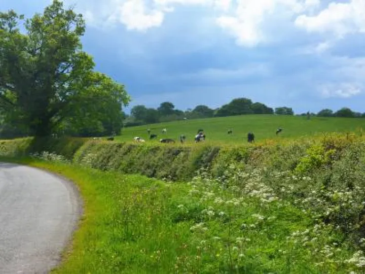
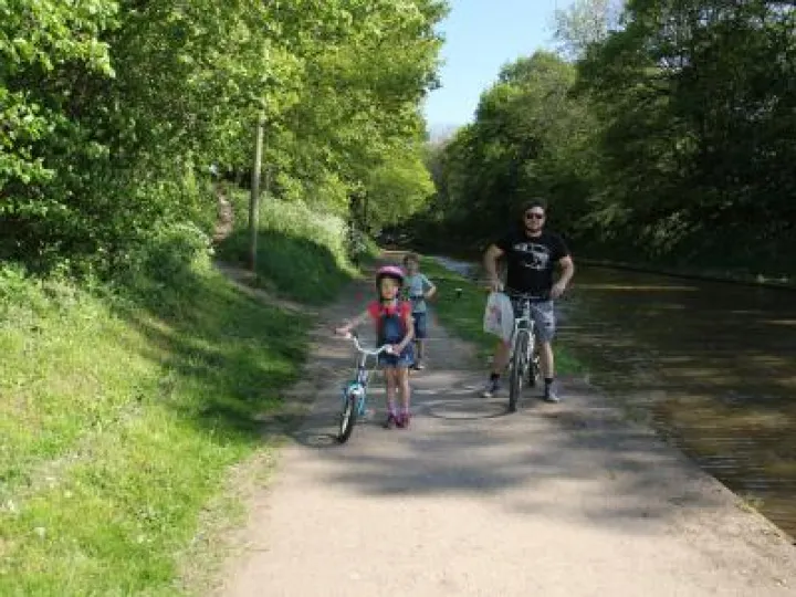
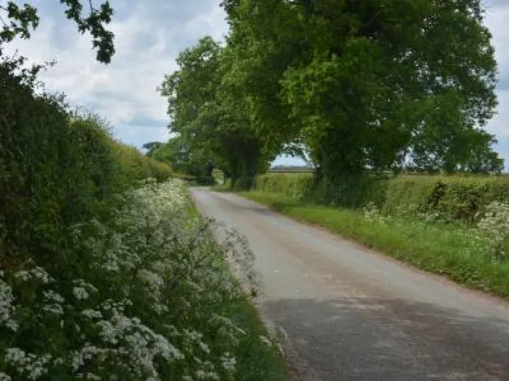
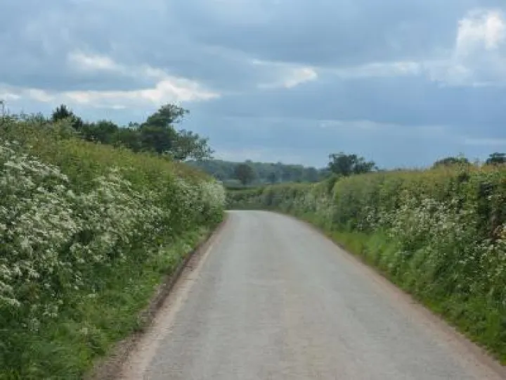
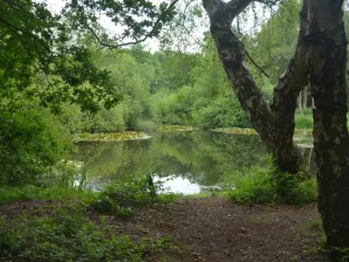
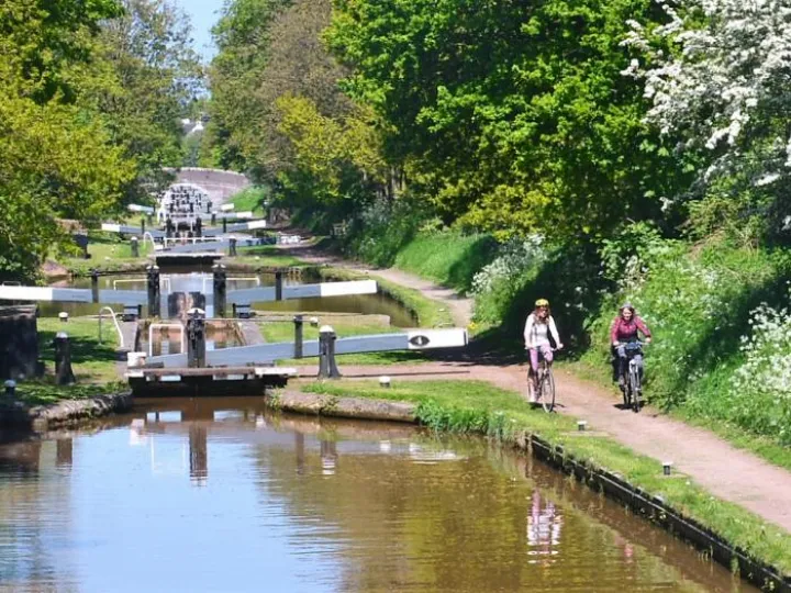
Many provide options for 'all tarmac' routes, or alternatives including off road sections on canal towpaths / bridleways which can be highly enjoyable when ground conditions are favourable.
The routes are graded easy (E), moderate (M) and harder (H), based on the length, gradients and surface conditions.

How to use the guide

  • Click on the route you want to see from the route information list beneath the interactive map below OR
  • Choose your route category from the list to the right of the map, Click and choose your route, this displays pin on the interactive map, then click on the pin you want.

The route page gives information about the route and advice on using it safely

Each route page provides the opportunity to download the route pack as a pdf file containing:

  • a route map
  • the route information ( as it appears on the route page)
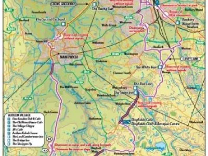
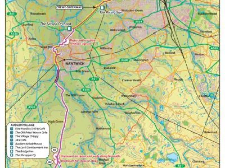
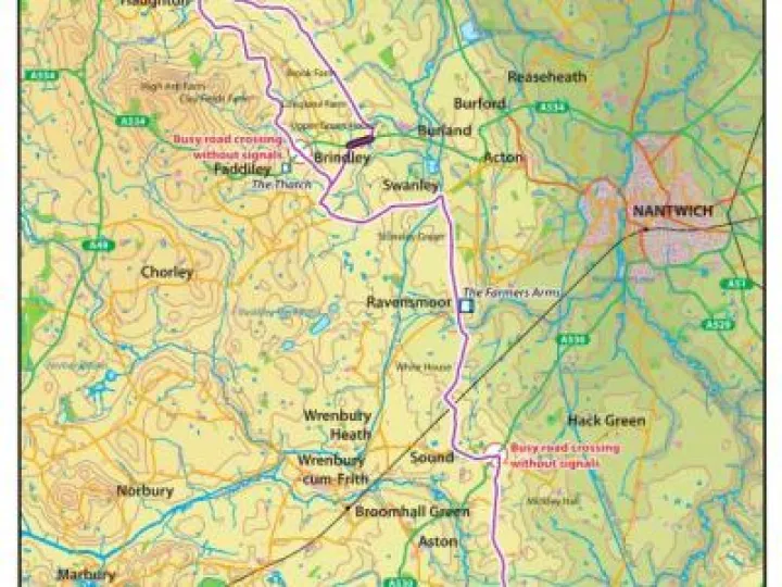
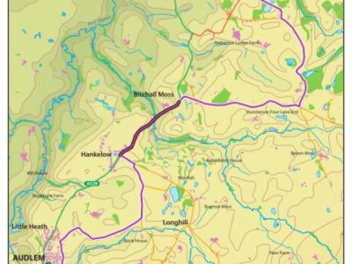
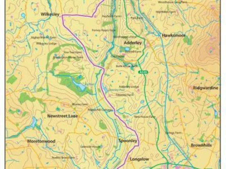
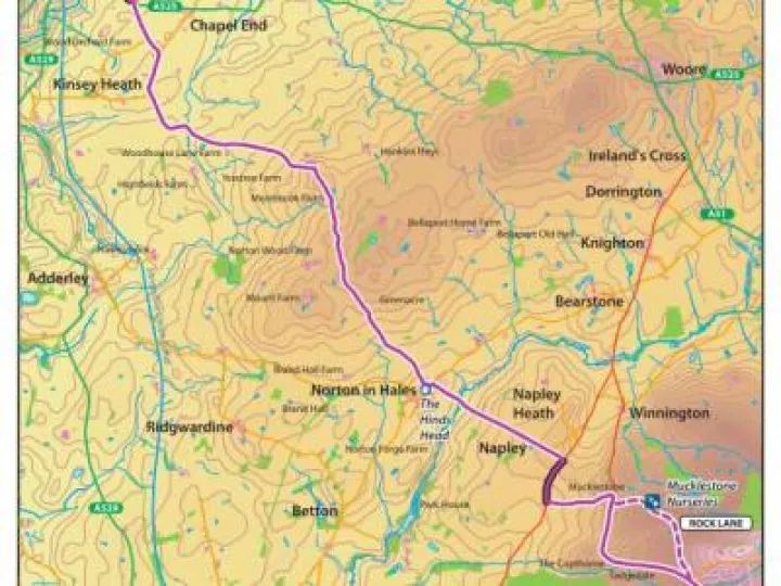
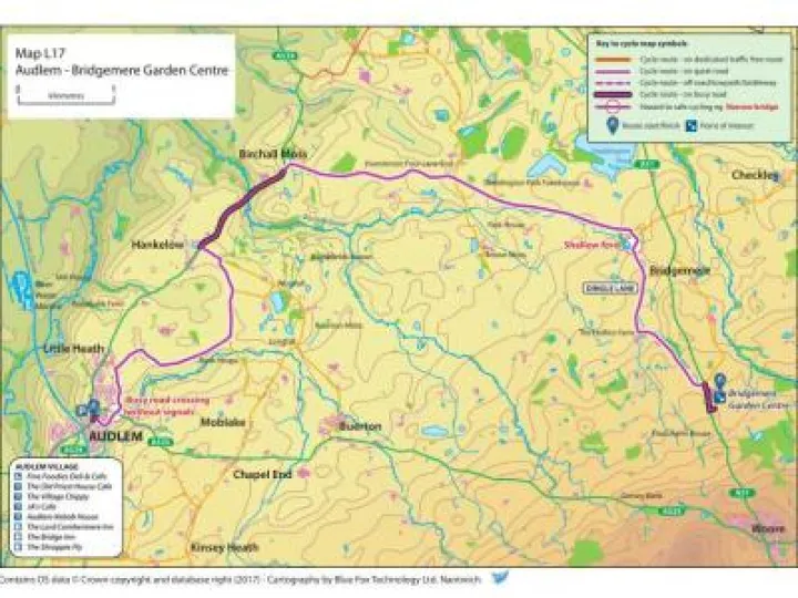
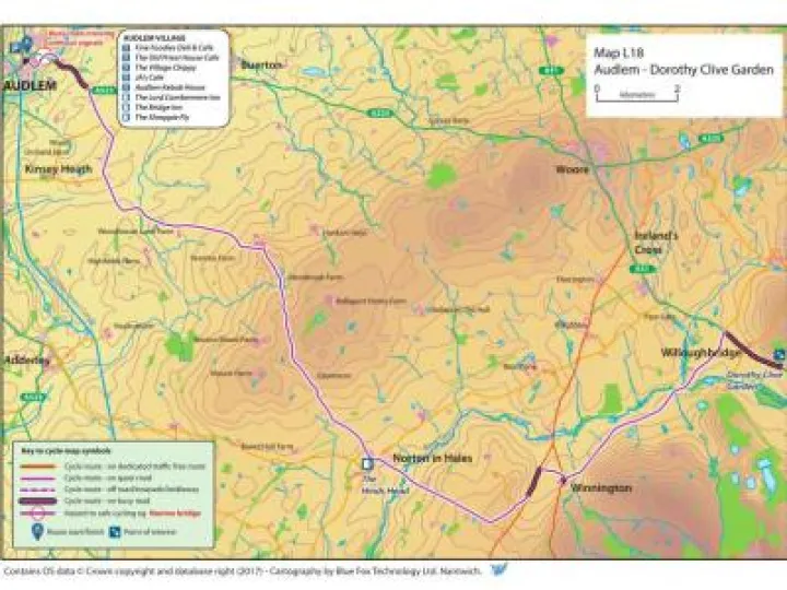
  • relevant expanded maps to help you navigate through towns and out of and into Audlem on routes where detailed navigation is required
  • a page of other relevant supporting information

You can now download GPX files of a route for use with mobile devices. We advise GPX users to read the safety information contained in the pdf descriptions.

Many routes have options for either being entirely on-road, or including off-road sections of towpth or bridleway. The route tags including off-road sections are marked with a *.

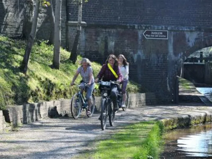
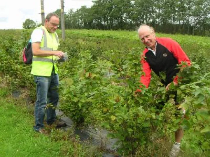
Why not join one of ADAPT's regular cycle rides, which normally follow the routes in this leaflet. You'll receive a warm welcome and travel at a modest pace suitable for all. All ages are welcome, but children under 18 should be accompanied by an adult.

for all
Route N – Audlem to Nantwich (13 miles-easy / moderate)
C Map paint jpeg 2
Route C – Audlem to Crewe (25 miles-easy / moderate)
Breiddon Hills  from Ash
Route WH – Audlem to Whitchurch (25 miles-easy / moderate)
back safely
Route MD – Audlem to Market Drayton (15-25 miles-easy / moderate)
BLRoute_page_001
Route BL – Bentley Motors / Leighton Hospital ( 24 miles-easy / moderate)
PICT0034
Route WR – Audlem to Woore (18 miles-moderate)
bag lane
Route L1 – Norton in Hales & Adderley (13 miles-moderate)
Popular Bird spotting lake
Route L2 – Calverhall (19 miles-easy / moderate)
Ightfield Church
Route L3 – AMICA 5 Churches (29 miles – moderate)
Marbury Mere
Route L4 – Aston, Wrenbury & Marbury (18 miles-easy)
Dismount at Ford
Route L5 – Aston, Sound & Hack Green (14 miles-easy / harder)
Approaching  Brown Moss
Route L6 – Brown Moss & Alderford Lake (29 miles-moderate)
L7Route_page_001
Route L7 – Checkley, Knighton & Norton in Hales (21 miles-harder)
Llangollen Canal
Route L8 – Llangollen Canal (20 miles-harder)
L9Route_page_001
Route L9 – Wettenhall & Bunbury from Nantwich (21 miles-easy)
L10Route_page_001
Route L10 – Church Minshull from Nantwich (17 miles-easy)
L11Route_page_001
Route L11 – Bunbury (34 miles-moderate)
L12Route_page_001
Route L12 – Dagfields (11 miles-easy)
L13Route_page_001
Route L13 – Fordhall Organic Farm (22 miles-easy)
PICT0034
Route L14 – Bearstone & Woore Fruit Farms (17 miles-moderate)
L15Route_page_001
Route L15 – Mucklestone & Loggerheads (17 miles-harder)
Chumley Rhodedendruns
Route L16 – Cholmondley Castle Gardens (23 miles-easy)
L17Route_page_001
Route L17 – Bridgemere Garden Centre (13 miles-easy)
L18Route_page_001
Route L18 – Dorothy Clive Garden (18 miles-moderate)
Animals enroute
Route A1 – Hankelow & Kinsey Heath (6 miles-easy / moderate)
for all
Route A2 – Overwater Marina (5 miles-easy / moderate)
Meander Royals Green
Route A3 – Royal's Green & Wilkesley (10 miles-easy / moderate)
open road Wilkesley
Route A4 – Burleydam & Wilkesley (11 miles-easy / moderate)
Dismount at Ford
Route A5 – Sound & Aston (11 miles-easy / harder)
Sound common
Route A6 – Hack Green & Sound (10 miles-easy / moderate)
© 2024 – ADAPT