
Enjoy living well while safeguarding the future
Route A1 – Hankelow & Kinsey Heath (6 miles-easy / moderate)
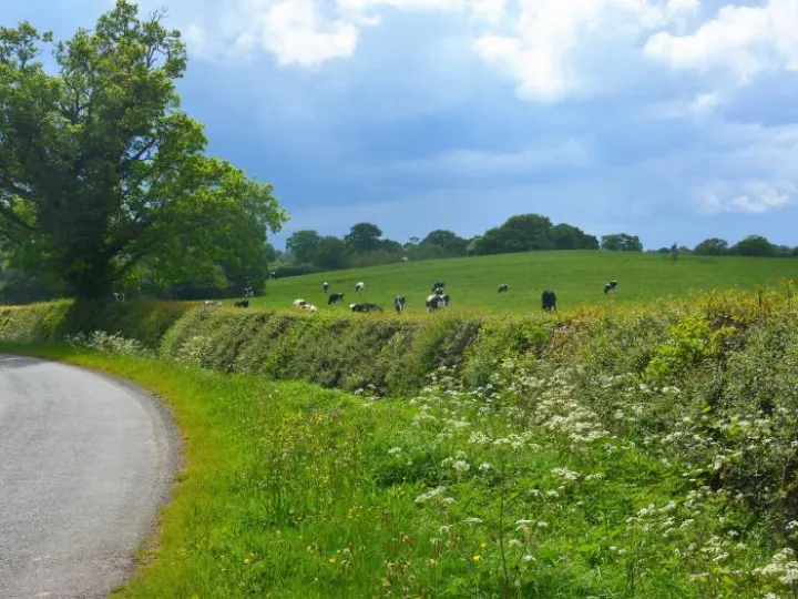
A very short but pleasant tour of the back lanes around Audlem. Great way to stretch your legs in less than an hour.
There is the choice of using the towpath at one end of the trip, or to cut short by the A525 to the east of Audlem and Paddock Lane.
The route involves either:
Route A1 (6.3 miles-easy)
Back lanes to the south of Audlem
- This option avoids the towpath section, but does include a short section of the A525 Woore Road and an additional crossing of it at School Lane. Care is required here.
- The towpath section is on hard base, with a partial surface covering of earth which can be muddy and slippery after rain.
- Access at the Audlem end is flat, but at Bridge 76 a short steep slope is involved both on the towpath and the access ramp. Cyclists should dismount between the bridge and the road.
- The towpath can be busy with walkers and anglers at weekends. Please be courteous and follow the towpath code. Watch out for Anglers, use your bell well ahead and be prepared to dismount.
Both options involve crossing the A525 at School Lane and Chapel End, where care should be taken.
