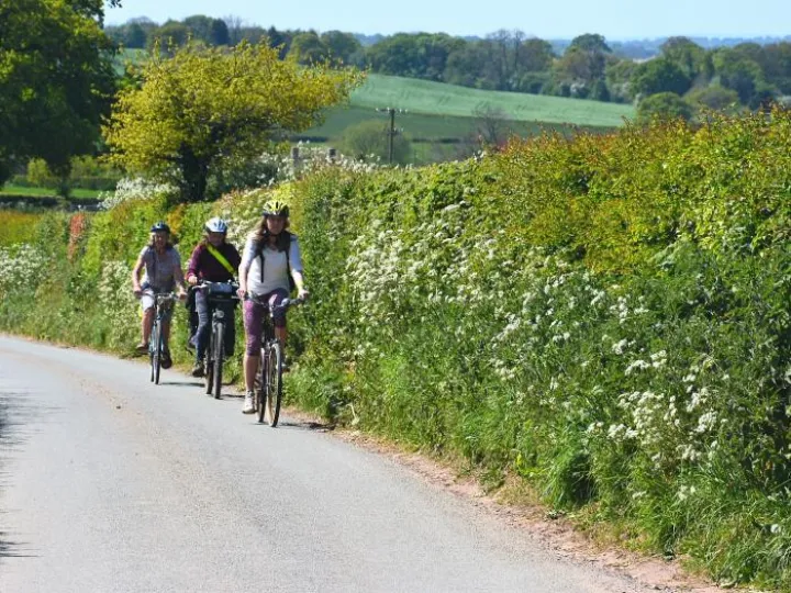
Route L1 – Norton in Hales & Adderley (13 miles-moderate)
A short, but rewarding ride offering stunning views and quiet open countryside.
Once past the short section of A525 leaving Audlem, this route is largely on back roads and lanes and travels through the pretty village of Norton in Hales.
There is a fairly lengthy climb of moderate gradient to the north of Norton in Hales. However, it's worth the effort as the views from the summit can be stunning. The remainder of the route is fairly flat.
You have the option of returning:
on the on-road route (L1 total distance 15.2 miles) via a short section of the A529 to back lanes skirting Shavington Park to Wilkesley, Coxbank and further back lanes to the south-east of Audlem.
- Care must be taken on the short main road sections and the A525 crossing at School Lane.
- The crossing of the main A529 road at Coxbank has limited line of sight and requires great care.
or via the towpath from Hawkesmoor Bridge (No 72), Adderley (Route L1* total distance 10.7 miles)
- The towpath can be muddy and slippery after rain. Not recommended in wet or icy winter conditions.
- Towpath access at the Audlem end is flat, but at Adderley a short steep slope is involved where cyclists should dismount
- The towpath between Audlem Wharf and Bridge 76 can be busy with walkers and anglers at weekends. Please be courteous and follow the towpath code. Watch out for Anglers, use your bell well ahead and be prepared to dismount.
Refreshments
The Hinds Head, Norton in Hales


