
Enjoy living well while safeguarding the future
Route WH – Audlem to Whitchurch (25 miles-easy / moderate)
Traffic between Audlem and Whitchurch uses the A525 and A530, which are busy and narrow.
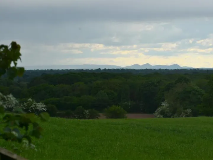
Just to the south of this route is a very pleasant rural route for cyclists through open country. The route is largely flat with no steep gradients.
The exit from Audlem is achieved either by:
Route WH (25.7 miles-easy)
Back lanes to the south of Audlem
- This involves setting off in the opposite direction from Whitchurch but only for a short distance to pick up the quiet lanes. This avoids lengthier sections of busy main road involved in the more direct routes.
- This option avoids the towpath section, but does include a short section of the A525 Woore Road. Care is required here and also at the crossing of the A525 at the end of School Lane.
Route WH* (23.8 miles-moderate)
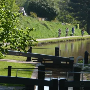
The canal towpath from Audlem Wharf to Bridge 76
- The towpath section is on hard base, with a partial surface covering of earth which can be muddy and slippery after rain.
- Access at the Audlem end is flat, but at Bridge 76 a short steep slope is involved both on the towpath and the access ramp. Cyclists should dismount between the bridge and the road.
- The towpath can be busy with walkers and anglers at weekends. Please be courteous and follow the towpath code. Watch out for Anglers, use your bell well ahead and be prepared to dismount.
The crossing of the A529 road at Coxbank has limited line of sight and requires great care.
The Whitchurch bypass west of Edgeley involves crossing a fast, busy road and a pedestrian footway. Cyclists should dismount.
The final approach to Whitchurch is on an urban main road where care should be taken.
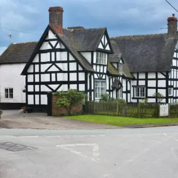
Refreshments
The White Lion, Ash Magna
