Enjoy living well while safeguarding the future
Route L2 – Calverhall (19 miles-easy / moderate)
An enchanting circular rural route taking in the hamlets of Coxbank, Wilkesley, Calverhall and Ightfield.
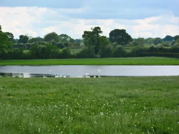
Bird watchers will enjoy stopping to view the pools at Lodmore Lane, (north of Ightfield) and Tittenley Pool, (south of Wilkesley,) both of which are adjacent to the lanes on this route.
There are options to leave and return to Audlem either by the towpath or by a short section of the A525 east of Audlem and back lanes.
The exit from Audlem is achieved either by:
Route L2 (19.6 miles-easy)
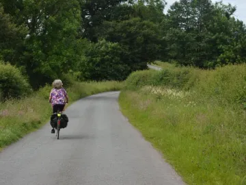
Back lanes to the south of Audlem
- This option avoids the towpath section, but does include a short section of the A525 Woore Road. Care is required here and also at the crossing of the A525 at the end of School Lane.
- The towpath section is on hard base, with a partial surface covering of earth which can be muddy and slippery after rain.
- Access at the Audlem end is flat, but at Bridge 76 a short steep slope is involved both on the towpath and the access ramp. Cyclists should dismount between the bridge and the road.
- The towpath can be busy with walkers and anglers at weekends. Please be courteous and follow the towpath code. Watch out for Anglers, use your bell well ahead and be prepared to dismount.
On both options, the crossing of the A529 road at Coxbank has limited line of sight and requires great care.
Refreshments
The Olde Jack, Calverhall