
Enjoy living well while safeguarding the future
Route A4 – Burleydam & Wilkesley (11 miles-easy / moderate)
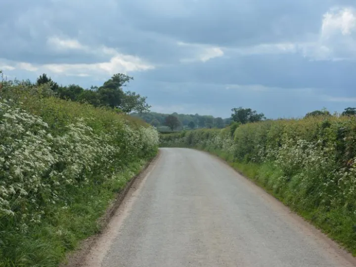
Similar to route A3, but extending further west, this route is typical of the picturesque back lanes to the north and west of Audlem. It includes the opportunity for refreshment at the public house at its half way point.
There are options to leave or return to Audlem either by the towpath or by a short section of the A525 east of Audlem and back lanes.
Therefore, the route involves either:
Route A4 (11.7 miles-easy)
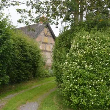
Back lanes to the south of Audlem
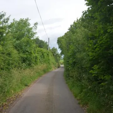
- This option avoids the towpath section, but does include a short section of the A525 Woore Road and an additional crossing of it at School Lane. Care is required here.
- The towpath section is on hard base, with a partial surface covering of earth which can be muddy and slippery after rain.
- Access at the Audlem end is flat, but at Bridge 76 a short steep slope is involved both on the towpath and the access ramp. Cyclists should dismount between the bridge and the road.
- The towpath can be busy with walkers at weekends. Please be courteous and follow the towpath code.
- A 1 mile section of the A525 Whitchurch Road to Coole Lane is involved in the exit and return to Audlem. This is a busy main road requiring caution, especially around the narrow bridge crossing the River Weaver.
- There are short sections of moderate gradient either side of the bridge over the Weaver, but otherwise the route is largely flat.
- The route involves a short section of the A525 at Burleydam which requires care, but at least most of this section is now within a 30-mph zone.
Refreshments
The Combermere Arms, Burleydam
